Photo Gallery — Cleanup and Monitoring Technologies
(click on the images to enlarge)

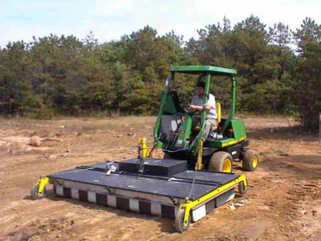
A Computer Assisted Radar Tomography (CART) provides 3-D images that are used to estimate the depth of buried objects.
|
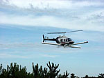
A helicopter used to perform airborne magnetometer surveys, which detect magnetic objects located on, or below, the ground surface.
|

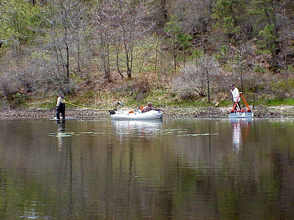
EM-61 pond survey to locate buried munitions
|

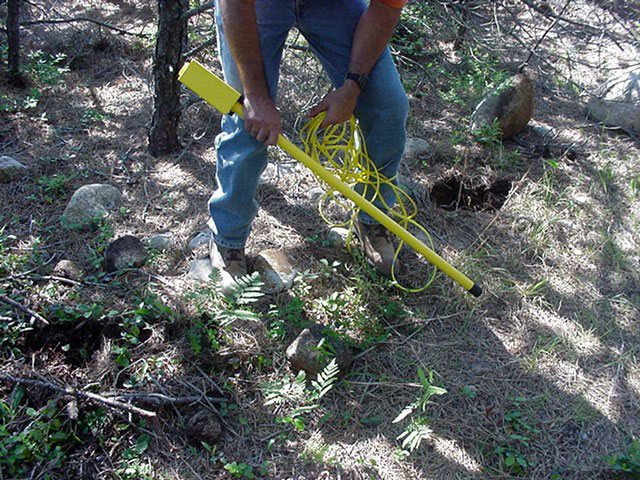
Schonstedt magnetic locator, which is a ground-based tool used to detect metal objects
|
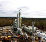
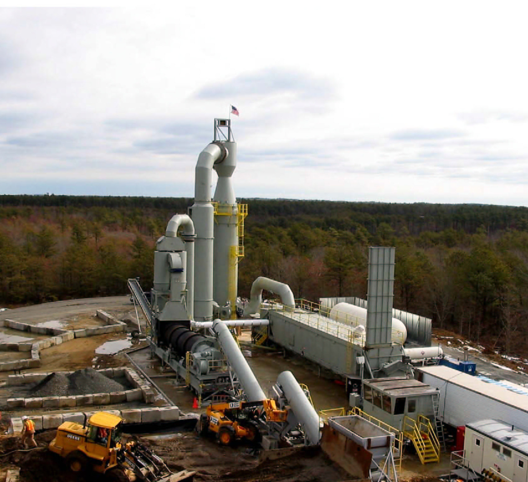
This is a Thermal Desorption unit at Demolition Area 1. Thermal Desorption is a process used to remove contaminants from the soil. Temperatures between 500 to 1,100 degrees Fahrenheit (°F) are used to physically separate moisture and contaminants from the soil. The exhaust created by this process is collected by an air pollution control system and heated to temperatures of approximately 2000 (°F) to destroy the contaminants. The exhaust is then filtered to remove any remaining dust particles from the air stream.
|
|
|